Wichita Falls Snowstorm Pictures (Past and Present) – We’ll Show You Ours if You Show Us Yours
The winter weather in Wichita Falls over the past five years has been very interesting. With the average annual snowfall cited at roughly 5.8 inches, we have had the opportunity to examine "roughly" just how accurate meteorologists can sometimes be (no, really).
While some winter storms are predictable days ahead of time, others are not recognizable until the hours leading up to, and during onset. The evolution and intensity of most storms is sensitive to the timing and strength of general patterns exhibited, these patterns are what meteorologists use to try and gauge intensity of incoming snowstorms.
The strength and intensity displayed on December 24th, 2009 was a good example of just how unpredictable these patterns can be. In one day we saw what Wichita Falls normally receives in annual coverage blanket the entire town, with a couple inches to spare. The record setting snow day covered Wichita Falls in some places up to 8 inches deep, making it the 4th snowiest calendar day on record. The number 1 slot, by the way, was only 2 more inches of snow and it was on January 18, 1925.
What a merry day for snowmen and towing companies!
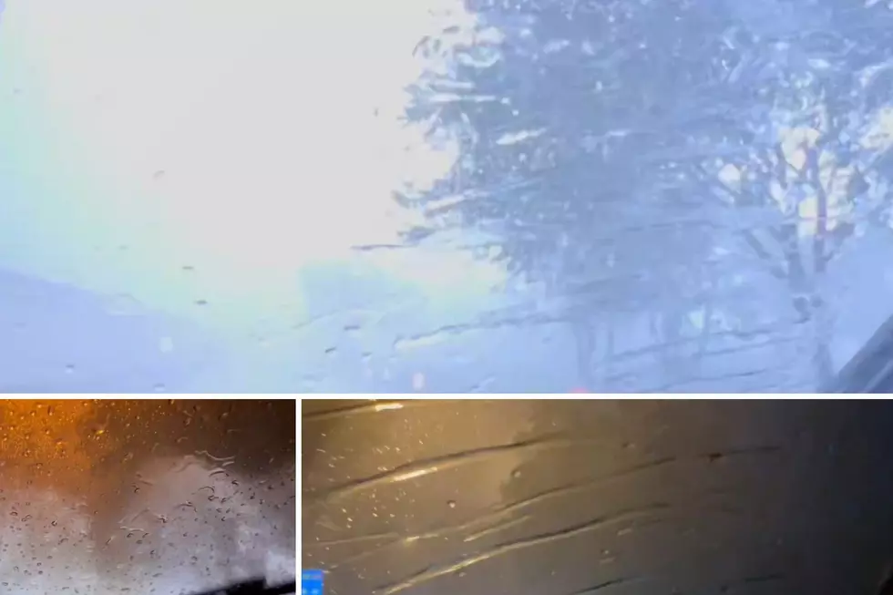
We didn't quite get that much snow today (Dec 10), but we did get a nice layer across the area.
Check out our collection of Wichita Falls snowstorm pictures below. Then add your own!
December 10, 2012
December 24th, 2009:
Do you have any Wichita Falls snow pictures? Prove it!

More From 102.3 The Bull