![Flash Flooding In North Texas, Tornado Threat Moves East [PHOTOS, VIDEO]](http://townsquare.media/site/176/files/2015/04/168900078.jpg?w=980&q=75)
Flash Flooding In North Texas, Tornado Threat Moves East [PHOTOS, VIDEO]
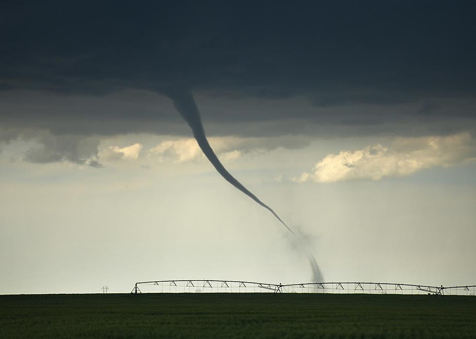
Severe weather plagued much of North Texas Sunday night with 19 reported tornadoes and hail up to softball size. Tornado reports stretched from near Brownwood to Granbury to Hillsboro. No deaths or serious injuries have been reported but damage will almost certainly be in the millions. A mile-wide tornado was spotted near Cleburne at about 10:45 pm Sunday night. The storm damage buildings, homes and overturned semis. Large hail did heavy damage in the Rio Vista area as well. Today the tornado threat stretches from far east Texas to Mobile, AL.
As for the drought-stricken Red River Valley area from Vernon to Wichita Falls, rainfall has found its way into the ‘water shed’ area and individuals are reporting anywhere from ½ to 1-1/2 inches of rain across the area. A Flash Flood Watch is in effect for Wichita, Foard, Hardeman and Wilbarger Counties through Monday into Tuesday as rain continues to fall.
As of 10 am, heavy rain was tracking across the eastern portion of the water shed area and specifically Lake Arrowhead and north into Wichita Falls. Motorists should avoid flooded areas. Never drive into an area where water covers the road. It only takes a few inches of flowing water to wash a vehicle off the roadway. Follow detours or find alternate routes that keep you safely away from flood waters.
More From 102.3 The Bull